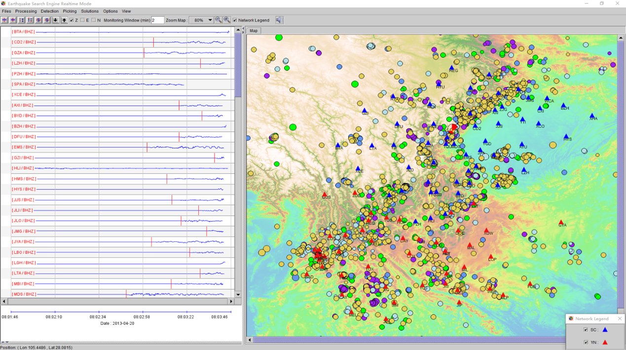
Fig.1 Interface of the new developing system

Fig.2 The flow chart of locating earthquake via deep learning

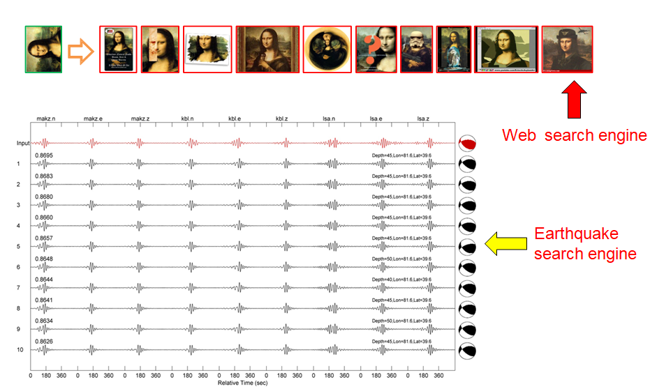
Fig.3 The Image-based earthquake search engine
A novel earthquake reporting system (EarthX) was launched for real-time monitoring earthquakes at China Seismic Experimental Site (CSES) across Sichuan and Yunnan provinces, China in December 2018. The EarthX system was developed by the University of Science and Technology of China (USTC) in collaboration with the Institute of Earthquake Forecasting (IEF), China Earthquake Administration (CEA). Prof. Jie Zhang of USTC is leading the development of the advanced system, which involves multiple teams with different academic and engineering disciplines. The system applies novel search engine and machine learning technologies to detect earthquakes, and determine the earthquake location, magnitude, and source focal mechanism solution within a second after receiving data.
Different from many previous earthquake monitoring systems in operation worldwide, EarthX accesses the waveform information of the incoming earthquake data instead of just traveltime picks to determine the source information automatically. The approach is also robust to minimize false results since utilizing waveform data. Accessing waveform information used to be a challenge because of computation time and efforts. With advanced machine learning and image search engine technologies, the system enables to handle a flow of large dataset in real time and offer more reliable results. Recent performance of the system with a few events occurring in Sichuan presents promising results and a great potential to elevate the guidance effectiveness for earthquake rescue efforts.


 位置:
位置:
 2019-05-05
 地球所
地球所

